Overview and challenges
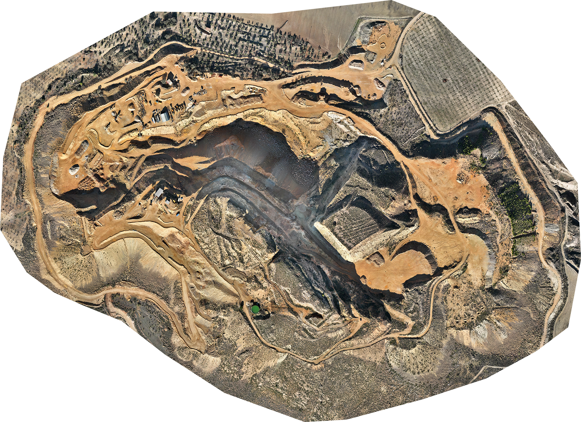
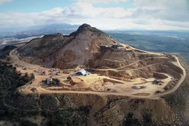
Canteras Industriales S.L operates within the Granada Basin, exploiting the Montevive celestine mineral deposit, the largest in Europe. Celestine, a vital source of strontium, is crucial for various industrial applications. Canteras encounters several challenges in its operations. Firstly, there’s a need to modernize exploration activities currently reliant on ground operations and traditional approaches like drilling and geological mapping. Additionally, monitoring and assessing geo-hazards such as ground deformations and slope instabilities resulting from blasting for strontium extraction pose significant challenges. Furthermore, ensuring proper tailings management within environmental limits remains a key concern.
The main motivation for the participation of CANTERAS open pit mine is related with the (i) utilisation of the EO based services to assist with exploration activities at local and regional scales in Montevive (ii) the near realtime assessment of ground deformations and slope stability at the mining site and (iii) the monitoring of sustainability parameters to assess the ongoing performance of the mining site.
How will TERRAVISION help?
The current infrastructure and datasets consist of drone topographies at tailings and ground deformations which are assessed visually at monthly time intervals and using geodetic instruments. At Montevive mining site, TERRAVISION aims to provide additional instrumentation infrastructure which will involve: (i) installation of control points and accelerometers at mine slopes and surrounding areas to assess and the deformations based or satellite/aerial images (ii) spectrometer instruments for calibration purposes of EO based services bringing added value to the exploration activities through the creation/update of a customised to-the-region raw material spectral knowledgebase.


