Overview and challenges
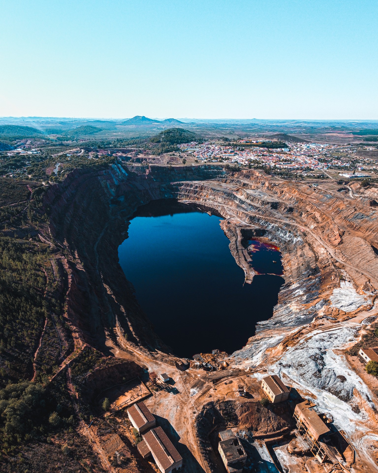
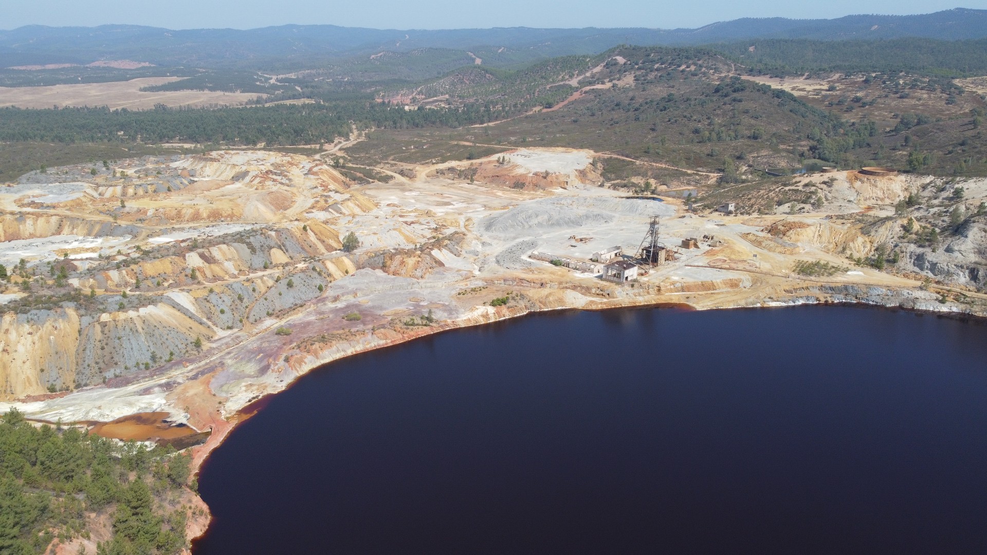
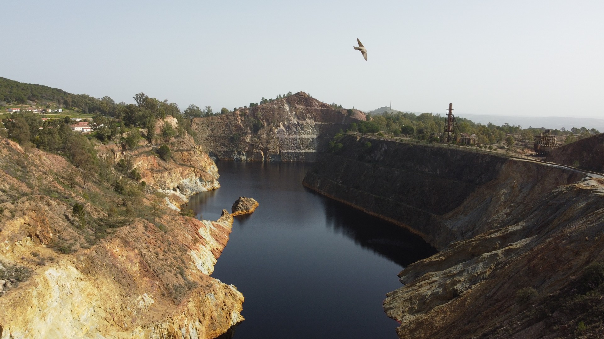
Tharsis operates in the Iberian Pyrite Belt, Andalusia, Spain, with three mining sites starting exploration in 2020 and aiming for the restart of the mining operations. Tharsis, La Zarza, and San Telmo mines ceased activity but hold substantial mineral deposits.
Tharsis mining sites encounter various challenges. Firstly, slope instabilities are assessed visually, lacking continuous monitoring. Additionally, there’s a scarcity of continuous measurements for flooded areas and waste material management. Advanced sensing methods are crucial to complement traditional exploration techniques and ensure the sustainability and resilience of operations.
Given that Tharsis focuses on the further exploitation of mining deposits in Huelva Andévalo area, the main motivation lies in the deployment of remote sensing methods coupled with in-situ instruments (i) for raw material exploration, (ii) to provide key inputs about environmental and resilience indices particular in waste dump locations, and (iii) assess in near real-time ongoing hazards, but also evaluate potential future risks at mining sites related with ground instabilities at embankments, slope and rock falls.
How will TERRAVISION help?
Tharsis is currently carrying out a large drilling campaign which involves more than 120 boreholes at mining sites. Water level and embankment deformation are also assessed visually at monthly time intervals. At Tharsis mining sites, TERRAVISION aims to provide additional instrumentation infrastructure which will involve: (i) spectrometer instruments for calibration purposes of EO based services bringing added value to the exploration activities through the creation/update of a customised to-the-region raw material spectral knowledgebase, (ii) the deployment of remote sensing infrastructure to assess in near real-time water level fluctuations at flooded open pit areas, (iii) installation of control points at embankments and surrounding areas for real-time monitoring of deformations based or satellite/aerial images.


